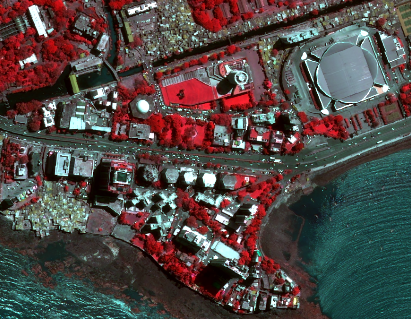
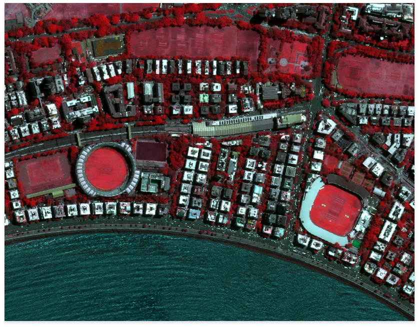
Airbus Defence and Space uses its 25 years of work experience to develop a solution in geo-information, intelligence, and spatial data management. I4D: Intelligence for Decision is a complete and innovative solution. The design of I4D satisfies geo-intelligence needs. This geo-intelligence ecosystem is useful for providing accessing, visualizing, searching, merging, and analyzing all kinds of GEOINT information through a virtual globe. Therefore, GEOINT analysts use I4D to collect and process data. This data is then fused to analyze with intelligence reports for further dissemination.

I4D
INTELLIGENCE FOR DECISION
SUITE FOR PRODUCTS
I4D has three-pillars that enables efficient analysis of a situation and fast decision-making. These products can request information ranging from terrorism threats to border monitoring.
SUITE FOR PRODUCTS
WHY I4D?
OPERATIONAL SOLUTION
Overall, I4D is a geo-intelligence ecosystem that acts as an end-to-end infrastructure and service solution. It is interoperable as it supports all major vector, raster, and multimedia formats. The fresh geo-information helps in fast-track implementation.
SOFTWARE SOLUTIONS FOR PUBLIC SAFETY & HOMELAND SECURITY OPERATIONS
PLATFORM & COMMAND: SAFE COMMAND
SAFE Command helps to maintain public safety and homeland security operations. The real-time location intelligence for staff and vehicles help emergency organizations deliver critical Duty of Care objectives. Moreover, it helps to provide integrated services that involve planning and responding as well as full mobile data and satellite communications. There have been many challenges that public safety and emergency organizations face. Since the past decade, innovative software solutions by Airbus Defence and Space have addressed these challenges. The development of Airbus SAFE Command is a resulting blend of expertise with collaboration with the UK Public Safety customers.
KEY FEATURES
The key features of SAFE Command also act as its benefits:
SOFTWARE SOLUTIONS
All of the above essential features enable the SAFE Command systems and software suite to address four critical areas:
The suite of SAFE Command products forms a core framework wherein the products stand-alone. However, it is also possible to implement products together as an overall solution. In such situations, it is possible to alter these products to satisfy the specific requirements regarding functionalities and operational processes.
VECTOR FACTORY
PLATFORMS & SOFTWARE: VECTOR FACTORY
Vector Factory is an industrial 2D or 3D mapping production suite that enables high productivity for capturing vector information. Further, editing and updating the same. The final data quality is the best due to the enforcement of data models on every digitizing or editing tools. Seamlessly, it integrates with the ESRI’s ArcGIS for Desktop environment. Airbus DS Geo SGSA, a part of Airbus Defence and Space has been working to develop vector factory.
Vector Factory airbus is a system that becomes a centralized hub to enable the user access in any of the special digitizing tools. Purely an ArcGIS extension, this also allows the native ArcMap tools and commands, or any new user compatible development. Besides providing better feedback to the user, it enhances the ArcMap 3D support. At the same time, it can add new special 3D tools and commands.
UNIQUE TOOLS
Implementation of Vector Factory represents a drastic click reduction for the users. Twenty-five years of Airbus DS Geo SGSA mapping production experience works to improve and develop the system. Thus, making it possible to start and link multiple commands and options with merely a simple finger touch. There is an assurance of the final quality of the data according to the project specifications. The touch display triggers and configures the intuitive and straightforward user interface.
One of the primary key factors in Vector Factory is the touch screen. There is no need to take the system mouse or navigate through multi-drop-down menus of ArcMap. Additionally, it is possible to integrate any data model irrespective of its complexities. Vector Factory also provides services of vectorisation of Maps or vector maps.
BENEFITS
SYSTEMIC REQUIREMENTS
The management of project and data model occurs through a system administrator specific environment. The system requirements are:
PIXEL FACTORY
PIXEL FACTORY : THE POWER OF AN INDUSTRIAL SOLUTION IN YOUR HANDS
Pixel Factory : The power of an industrial solution in your hands Pixel Factory is the state of the art industrial geo-processing systems whose design can produce numerous cartographic end products. The quality of these systems is excellent. Despite this, continuous improvements and development in the system lead to the evolution of the new Pixel Factory NeoTM. This system provides an extensive range of products with higher accuracy and productivity. At the same time, it covers the requirements of all the organizations and project teams that involve mapping, planning, security, defense, and disaster management.
The Pixel Factory NeoTM will gather radar and optical sensors that already support the previous production systems on any platform. These platforms include satellites, manned and unmanned aerial vehicles, as well as cars and hand-held devices. Moreover, Pixel Factory is a future proof that consists of ready to incorporate new sensors. It ensures continuity in the project delivery requirements.
KEY BENEFITS
The Airbus Defence and Space and Micronet Solutions offer comprehensive support through a team of experts at all stages of the projects. Besides providing these benefits, it provides expertise in consultation and software installation. Additionally, it offers on-site technical support, training, and maintenance throughout the process of initial set-up to feature development.
DID YOU HAVE OTHER QUERIES ?
Micronet solution is there to support your business. We are ready to deliver.