GIS (Geographic Information System)
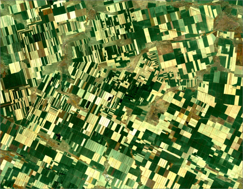
Digital Photogrammetry is a well-known process that helps to accumulate proper dense 3 dimensional data of actual objects. This geometric 3-dimensional data are generated through stereoscopic image overlapping. The Map Digitization Service is applicable throughout various fields. There are various ways to collect and process these 3D imagery data. Micronet provides digital photogrammetry services India.
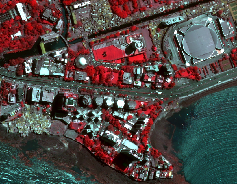
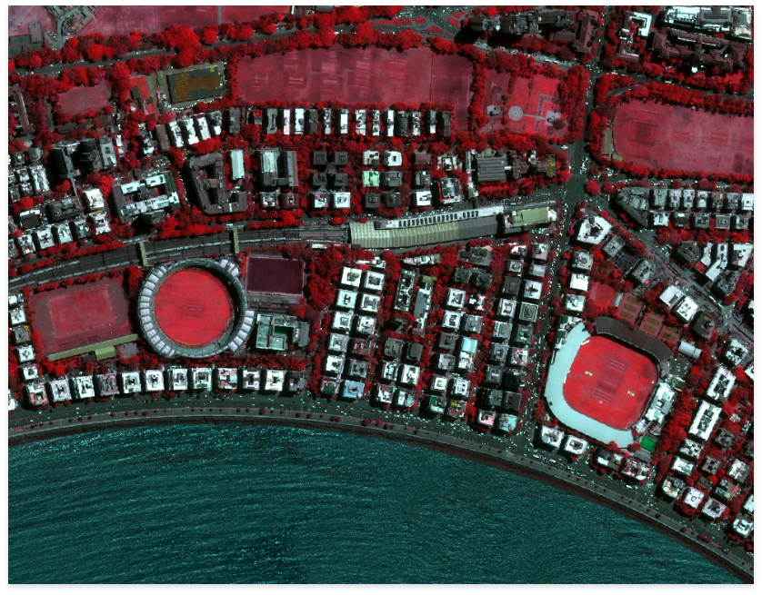
Airbus Defence and Space betrays a specialized proposition for the Geo-Spatial industry for using its Tri-Stereo satellite data products and generating ‘True Ortho’ images. As Micronet solutions use Airbus Defence and Space’s technological abilities, we can provide tri stereo imagery data acquired with Pleiades satellite. The space edge imagery satellites Pleiades 1A and 1B are capable of acquiring high-resolution data (50 cm). The client receives a combination of three satellite images. The data is provided with 2 oblique views. These views maintain a B/H ratio of 0.4 -0.7 and one NADIR (0-50) image.
The Pleiades accumulates Stereo / Tri-Stereo data. These data can be used to generate Digital Elevation Models (DEM’s) / Digital Terrain Models (DTM’s) using the Rational Polynomial Coefficients RPC’s and DGPS points. These enable the system to achieve vertical accuracy up to 1 meter to 2 meters. This satellite stereo pairs also can be used to generate Topographical maps up to 1:4000 / 1: 2000 SCALE. As the Micronet Solution is the sole distributor of Airbus Defense & Space’s products, we help to build up proper digitized maps of India using world-class Digital Photogrammetry technology.
We can proudly announce that; Micronet Solutions has already worked on DEM generation & Editing for Orissa Space Application Centre. This was possible through using the CARTOSAT stereo datasets.
Besides, we have generated DEM under corridor mode for Worldview II, Digital Globe satellite image for some of our different government clients.
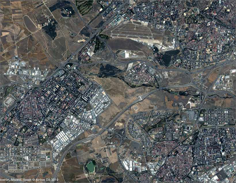
Micronet Solutions has an optimized system specially designed to collect, analyse, store, present and manage geographical and spatial data. At Micronet Solutions, we enable our users to properly analyse and edit maps. The GIS mapping we provide consists of a lot of underlying geographical concepts, optimized systems and applications.
Our support covers the entire life cycle of the GIS services, from system design analysis, data conversion, system development and assimilation. We develop turnkey projects on all the major GIS service platforms including Esri, Autodesk, and Bentley.
The accuracy of GIS mapping service significantly depends on the source data and the way it is encoded. We subject our digitization and data conversion projects to very high levels of quality controls (QC), and high positional accuracy through positions derived by GPS.
Through our QC at five levels – map inventory, post-digitalization/geo-processing, GIS processing, error check, final map printing – we ensure the highest quality services to our clients.