ABOUT US

Micronet Solutions has been at the forefront of providing geospatial solutions for more than two decades. We are the authorized distributors for leading satellite imagery companies. We bring world-class, high-resolution satellite data to users in India and beyond.

We are committed to facilitating greater applications of remote sensing, access and affordability of data, ease of buying, and value-added services. We cater to users in diverse industries with high-resolution data, both in optical and radar imagery space.

OUR PARTNERS

Micronet Solutions has partnered with leading satellite imagery providers from across the globe. Our partners are at the forefront of providing updated, latest, and the highest resolutions satellite imagery available in the market today. The satellite data is easy to use, and can be easily integrated into your various processes.

AIRBUS

Airbus Defence & Space (Airbus DS) has been a leading provider of satellite imagery for more than three decades. The Europe-headquartered company operates the largest constellation of optical and radar commercial earth observation satellites available in the market today.

PLANET LABS

Leading the way in global daily satellite imagery, American earth imaging company Planet Labs is driven by a mission to make global change accessible and actionable through daily monitoring. The company’s fleet of over 200 earth imaging satellites collects over 350 million square meter of earth land mass imagery daily.

MDA SPACE

Canadian space technology company MDA delivers world class satellite systems and operational geospatial intelligence systems, amongst many offerings. Through its RADARSAT-2 program,  MDA offers reliable, near-real-time access to all-weather imagery and surveillance information.

INDUSTRIES WE SERVED

Satellite imagery is fast becoming an indispensable tool in planning and decision making for society, environment, and economy. At Micronet Solutions, we ensure that our suite of offerings addresses the most critical sectors for national development in India.

AGRICULTURE

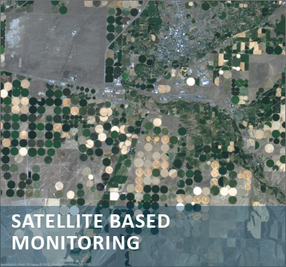
Satellite-based reliable, timely data, easy data access and innovative digital services to forecast changes, keep track of conditions, monitor changes, and make informed decisions for farm management and institutional practices. Our partners have been leaders in driving data-driven agriculture and transforming agricultural practices.

Defence & Security

Timely, relevant, and accurate Information based on satellite data helps military, internal security, emergency response personnel to monitor with greater accuracy, anticipate threats, strengthen preparedness, make informed decisions and take swift action. Our partners have been at the forefront of equipping security personnel with comprehensive situational awareness and cutting-edge solutions for mission efficiency.

FORESTRY

Advancement in space technologies has generated new possibilities for forest mapping using integration of GIS and remote sensing (RS) technologies. RS data processed by image classification methods is subsequently converted into GIS data coverage, offering the possibility of analysing the classified image together with other data levels such as digital terrain model (DTM) data existing in GIS. The satellite remote sensing is valuable technique for mapping of forests and potential afforestation sites occurring over large area, rapidly and economically. Up-to-date information on location and spatial extent of forests and wastelands is an essential prerequisite for management of forest and wastelands

We bring solutions for effective satellite-based forest monitoring, management, conservation and sustainable development of all types of forests. These solutions help address forest cover maintenance, REDD management, forest health, forest economies, land use regulation and allied issues.

WATER RESOURCES

Satellite-based data can help in monitoring water availability, long term trends and water allocation planning, flood mapping and management, reservoir capacity estimates, water flows, extraction of streams and drainages, irrigation performance evaluation, snowmelt-runoff forecasts, reservoir sedimentation, watershed treatment, drought monitoring, and so on. Satellite imagery can help monitor the quality, quantity, and geographic distribution.

Mining & Mineral Resource Mapping

Technology continues to play an important role in addressing mining sector challenges. Satellite-based data lends itself to a number of applications that help address such issues. Mine monitoring, for example, is highly effective in controlling illegal mining and increasing revenues of concerned state departments. Automated mine monitoring surveillance system can provide the change detection and volumetric change calculations for mines.

Mapping & Land Administration

Geo-information is an important data source in land administration and mapping. Satellite data helps create cost effective and accurate maps for reliable and informed decision making. Our partners extend a wide range of innovative offerings in land administration and mapping.

Urban Development & Infrastructure

Geospatial information provides an accurate and cost-efficient means for effective planning and management and avoiding delays and cost overruns.

The visualization and decision support system provided by satellite imagery helps in economical and accurate assessment. Our partners provide comprehensive and reliable solutions for planning, developing and maintaining the urban development and infrastructure projects.

OIL & GAS

Whether onshore or deep-water oil, shallow-water or onshore gas, satellite imagery-based solutions help oil and gas operators make sound decisions for exploration; site planning; assets management and safeguarding; intelligence; strategic planning; industry insights; pro-active sustainability management; environmental and safety issues; incident and crisis management and response; and compliance with regulatory and reporting requirements.

PRODUCTS

Sample the world class imagery and data solutions provided by our partners

PLEIADES

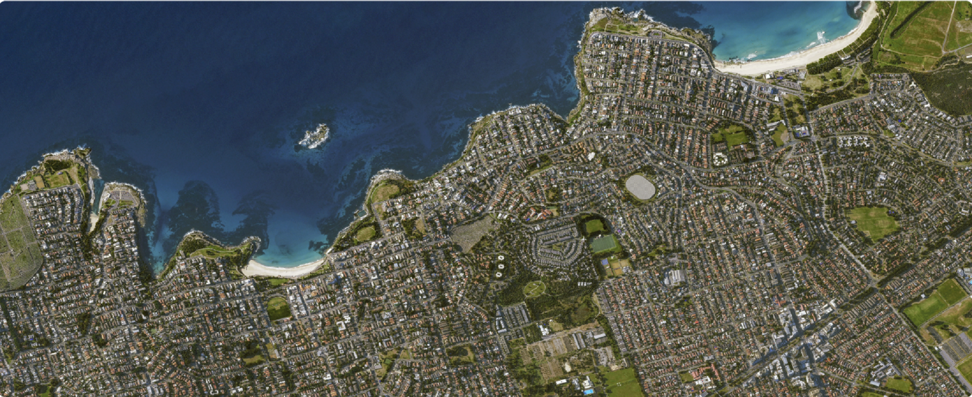
Very-high resolution satellite imagery to note details. The identical satellites of Airbus, Pléiades 1A and Pléiades 1B deliver 50cm optical imagery in record time.

PLEIADES NEO

Very-high resolution optical imagery for an unprecedented level of geospatial services. Features four identical 30cm resolution satellites and optimises each step of the satellite acquisition and delivery cycle.

PLANET BASEMAPS

Visually consistent and science-grade mosaics that enable time-series analysis and machine learning-powered analytics. Planet Basemaps leverage cutting-edge software together with daily global satellite imagery.

RADARSAT

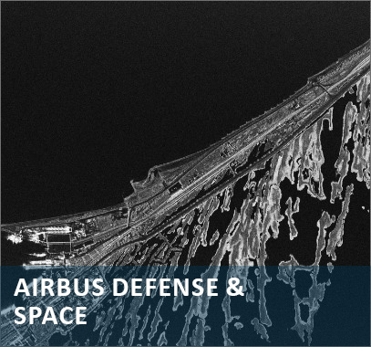
Synthetic aperture radar (SAR)-based reliable, near-real-time access to all-weather imagery and surveillance information, producing over 75,000 images per year.

SERVICES

We are committed to providing the most value to our clients in addition to providing remote sensing data. We provide a host of services to help our clients in improved interpretation and optimization of their use of satellite and other spatial data.

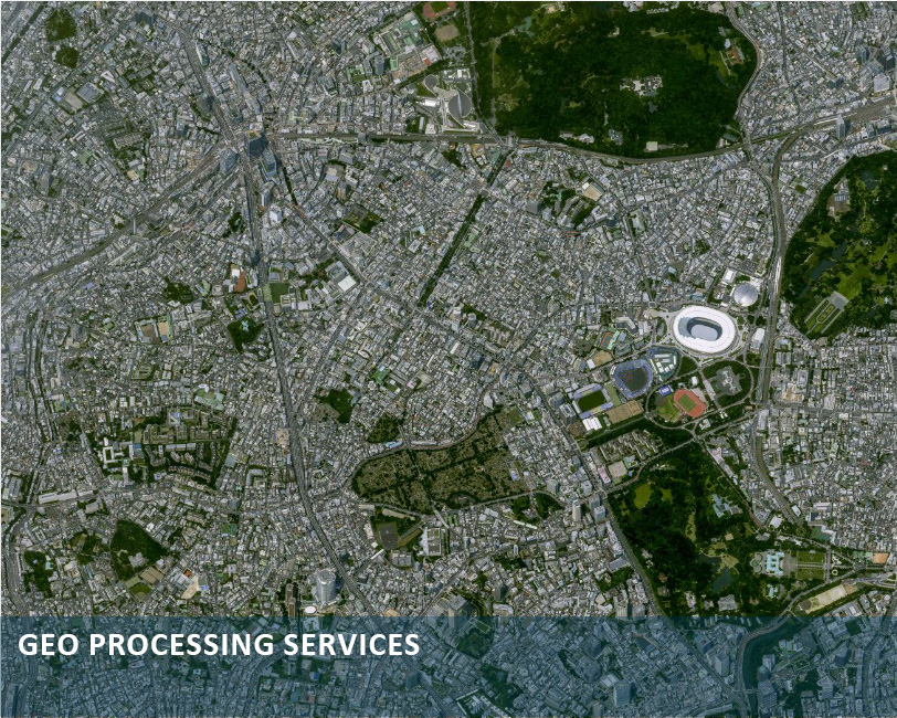
Our services include GIS services, digital photogrammetry, 3D modelling, digitization, image processing, DGPS surveys, consulting, map publication.

BLOGS

PLANET LABS – PLANET SCOPE SATELLITE IMAGES/IMAGERY

Planet Labs Planet Labs is an American private company that indulges in earth imaging to detect daily changes and record the latest trends. Their motto is to assist human beings on earth by utilizing space research and satellites. It has

OCEAN FINDER – MONITOR MARITIME ACTIVITIES THROUGH A SATELLITE

Ocean Finder An ocean finder is an advanced level interface that allows you to monitor maritime activities through a satellite. It also provides us the opportunity to retrieve identification reports that enable us to observe

ISRO SATELLITE MAPS – ISRO SATELLITE IMAGES

Role of ISRO Satellite Images Over the years, ISRO (Indian Space Research Organization) has been performing a crucial role in monitoring the geospatial resources of the earth for various purposes. One of the main purposes of the ISRO

CONNECT WITH US

We are happy to assist you with any queries, information, and purchase.  Please fill the below form and our team will reach out to you shortly.